Westwind and Pix4D
Westwind’s software partner, Pix4D, offers the only drone mapping & photogrammetry software tools with a flight app, desktop, and cloud platforms. Pix4D is an industry leader with comprehensive, easy-to-use solutions.
Featured Partner Products
Pix4Dreact
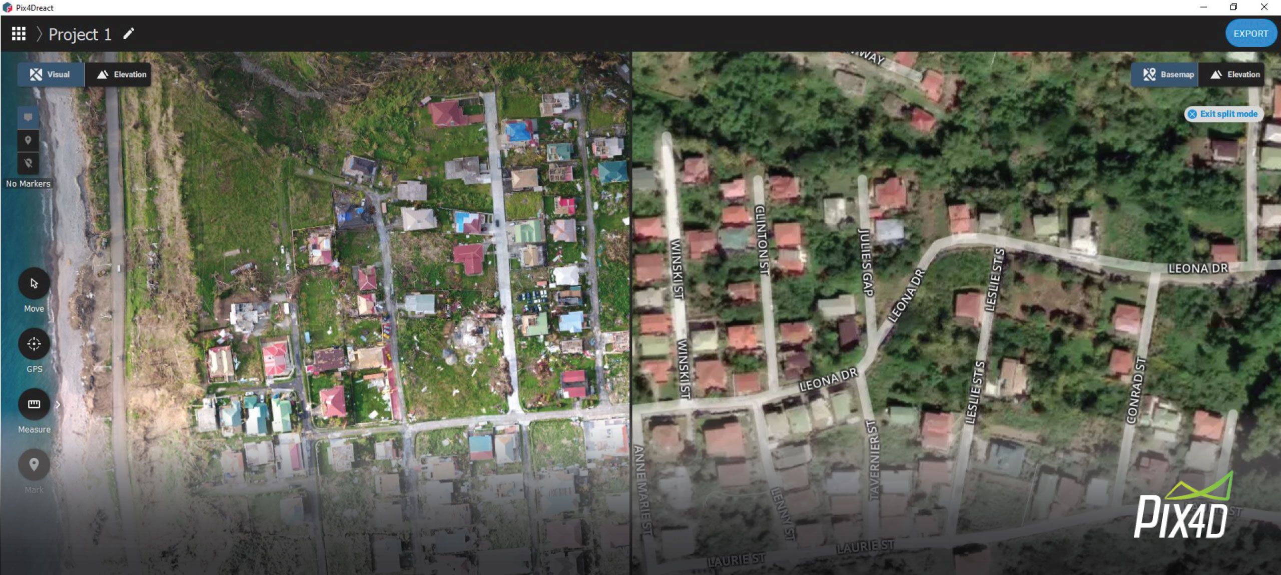
Developed with input from public safety and humanitarian aid professionals, Pix4Dreact is stand-alone 2D fast-mapping software which creates 2D maps from aerial imagery in minutes. It can be used independently or as a companion to Pix4Dmapper, the leading 2D and 3D photogrammetry software for survey-grade reconstruction tasks. Pix4Dreact doesn’t rely on an internet connection or the cloud for processing, making it well suited for field use.
Pix4Dmapper
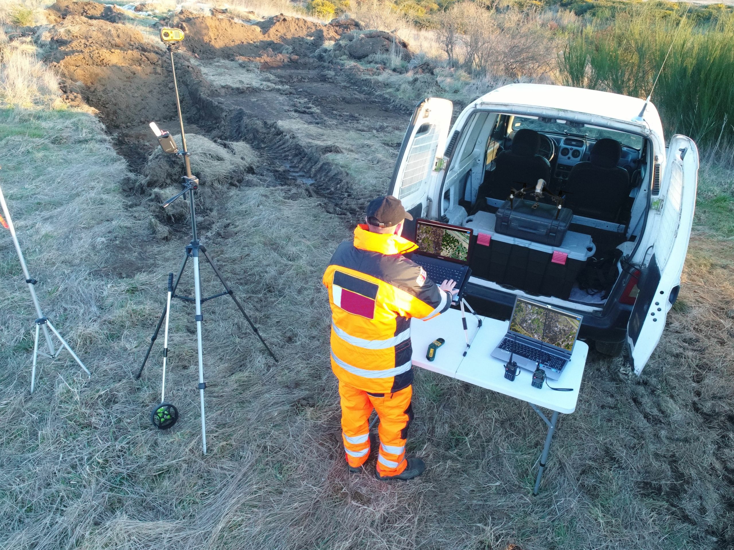
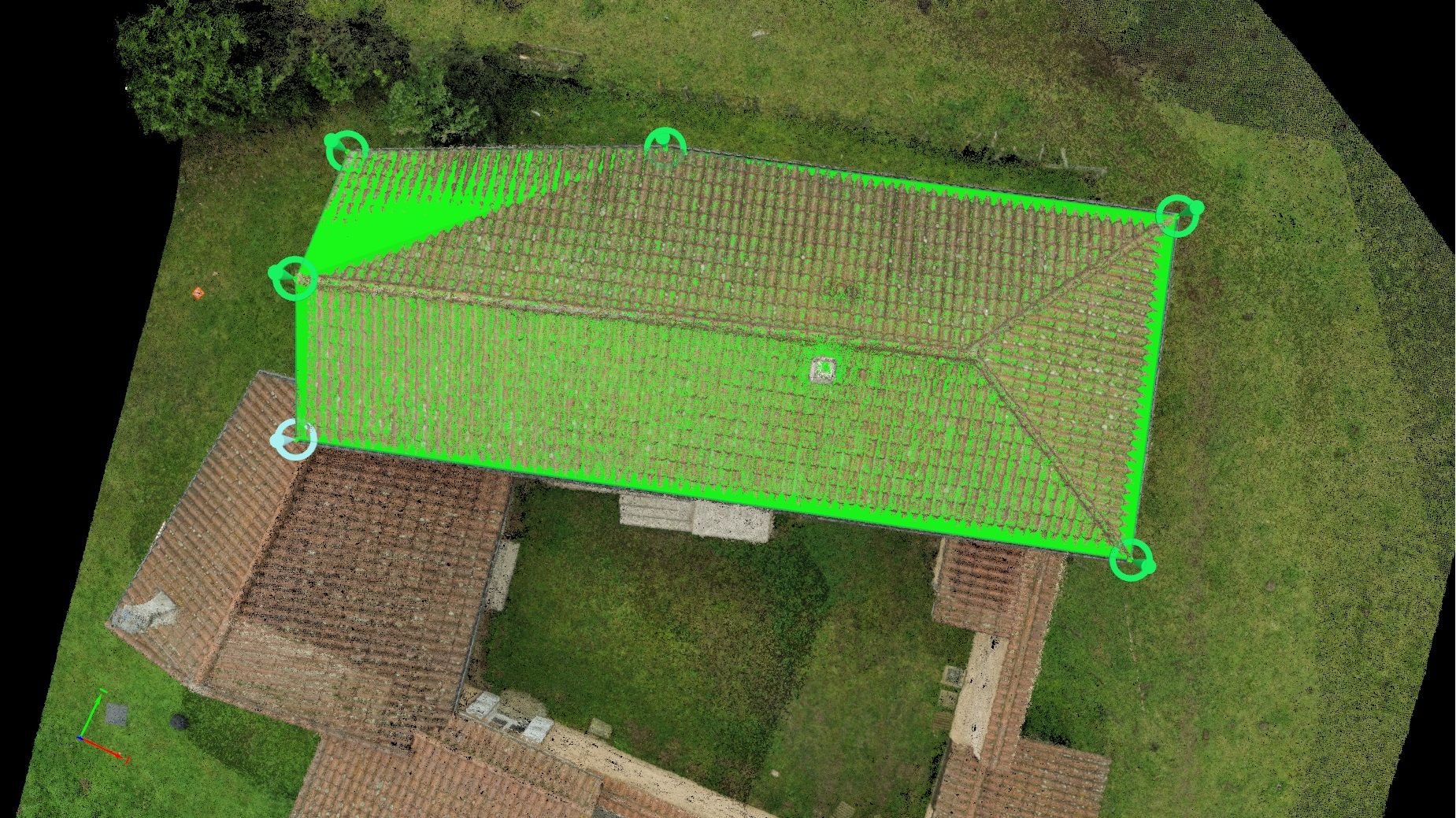
Pix4Dmapper software processes RGB, thermal or multispectral images taken with any industry-standard camera and creates 2D/3D models, orthomosaics, terrain models, and surface models. Software users can then measure distances, volumes and areas, extract elevation profile data and perform virtual inspections.
Pix4Dcloud
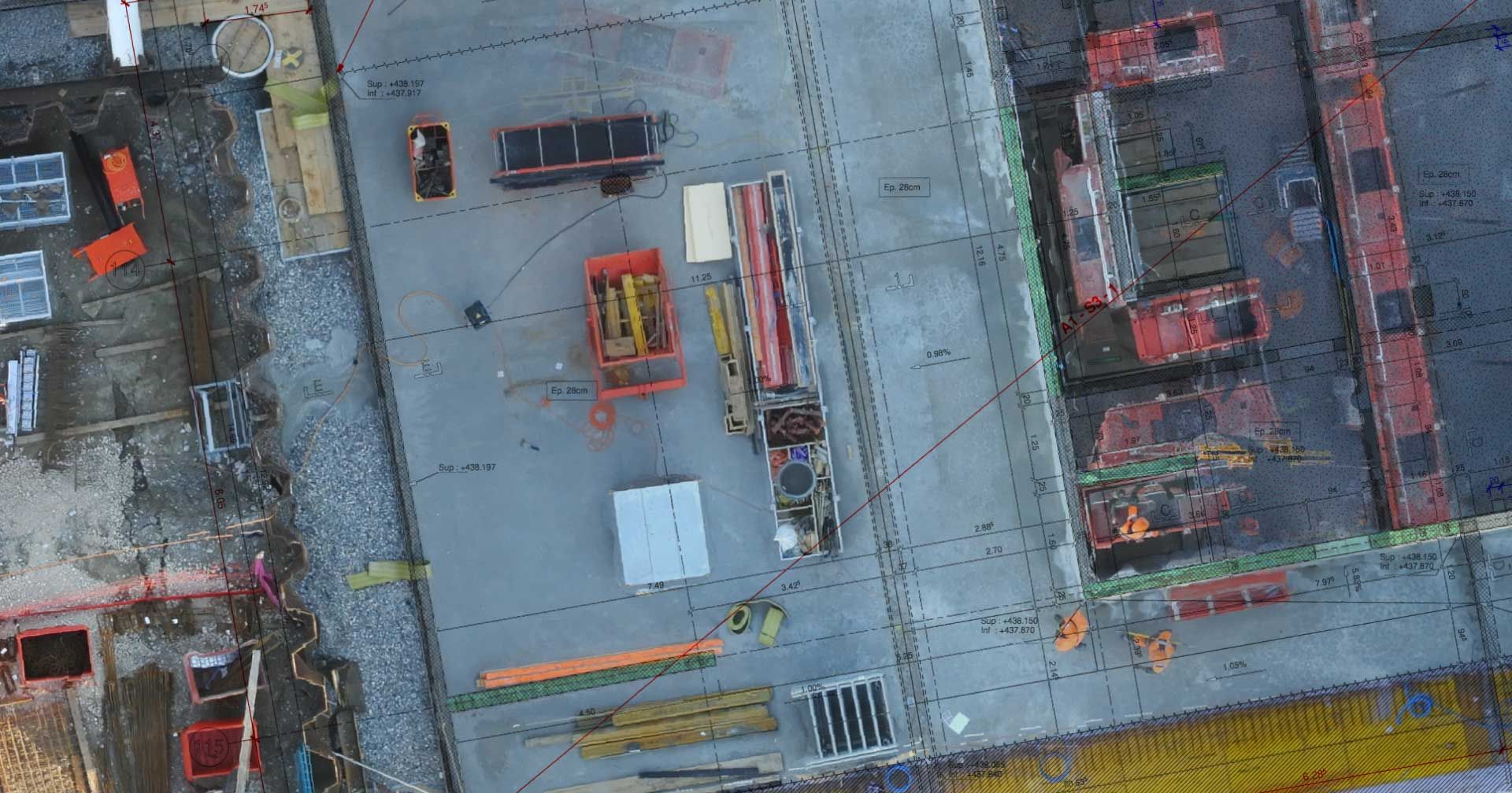
Pix4Dcloud is an ideal cloud-based mapping software for earthworks and construction management. In addition to processing images from any camera, Pix4Dclould, also provides timeline analysis and CAD overlay. Map, measure, document progress, and export 2D or 3D outputs to BIM or CAD software for further analysis.
Pix4Dsurvey
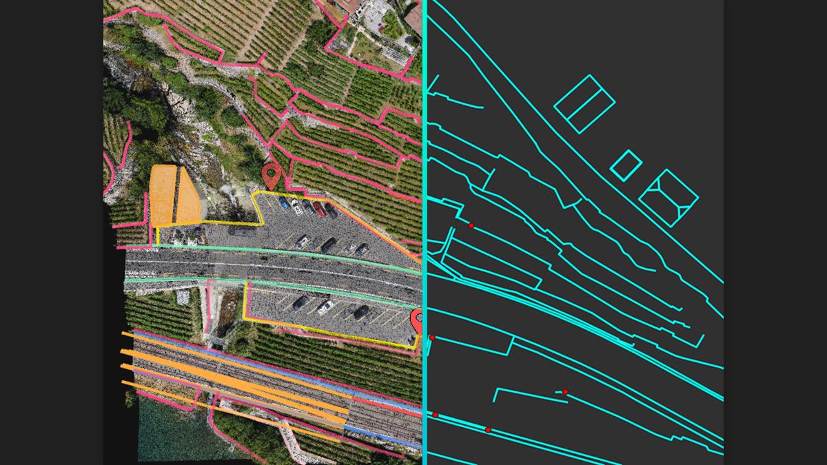
Pix4Dsurvey was designed to bridge the gap between photogrammetry and CAD. Transform your images into digital point clouds and create engineering-ready CAD files by extracting key elements of your project.
Pix4Dcapture
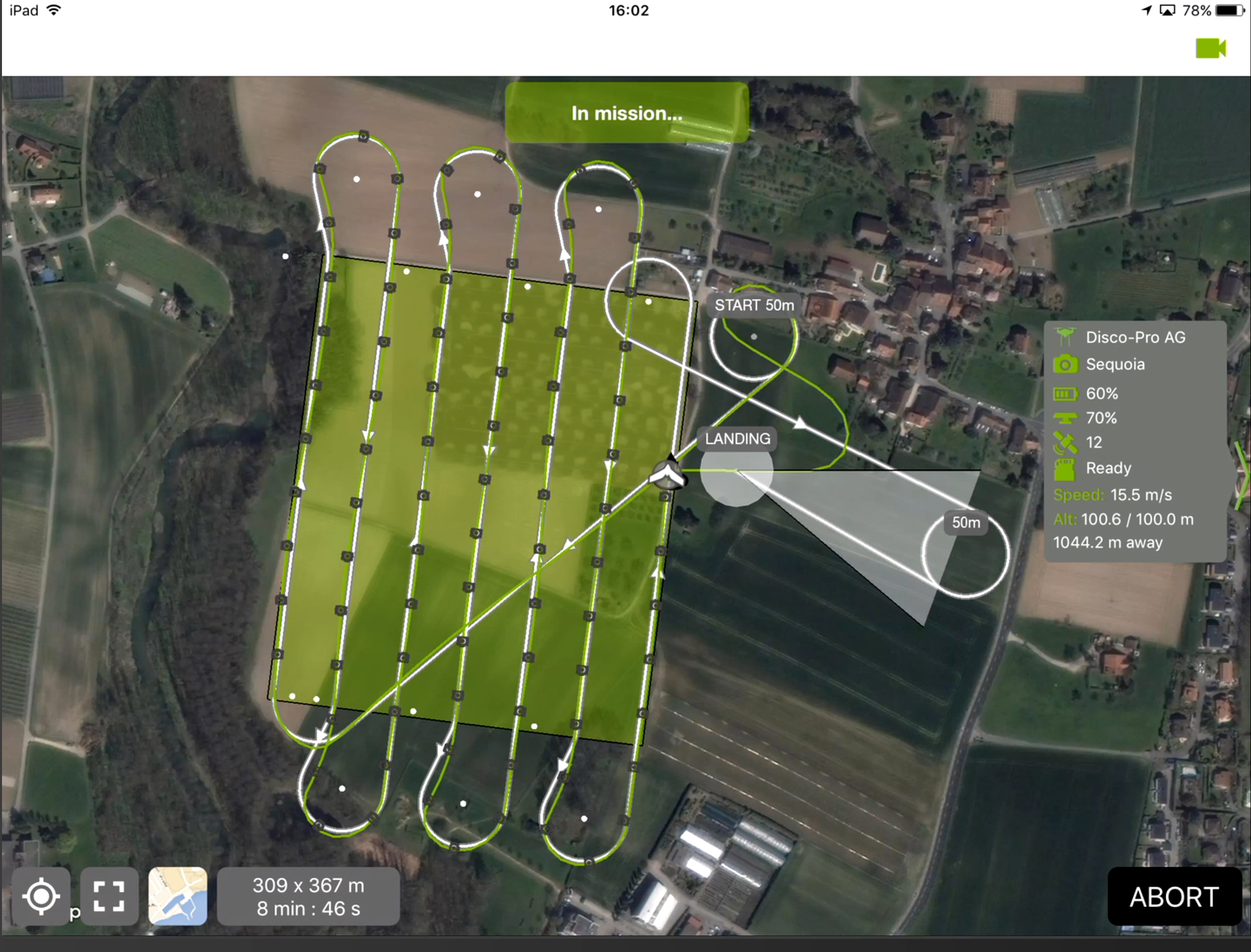
A free and easy to use flight planning application for drones from DJI, Parrot, and Yuneec. Set a mission plan for optimal 3D mapping and modeling; customize your parameters such as overlap, camera angle, and altitude. Integrate with Pix4D’s many mapping and modeling software products.
